
Mansfield ZIP Code Directory Coverage
The only ZIP directly confirmed by Mansfield's city information is 76063. That is a firm starting point, not a claim that every delivery point with that ZIP lies within the incorporated city. The city spans Tarrant, Johnson, and Ellis counties, and postal service areas can reach across a municipal line. The nearby ZIPs below appear in regional material, but the reviewed research did not confirm them as Mansfield-serving ZIPs. Check a specific address with the live USPS tool before assigning an address to a postal area or public-records custodian.
| ZIP | Areas Covered | Post Office | Notes |
|---|---|---|---|
| 76063 | Mansfield delivery area; the city FAQ identifies it for Mansfield residents | Mansfield Post Office, 752 N Main St, Mansfield | The main confirmed Mansfield ZIP; delivery may extend beyond city limits |
| 76084 | Nearby Venus and southern-area reference in regional material | Not located as a Mansfield-serving post office | Do not call it a Mansfield ZIP without USPS by-address confirmation |
| 76001, 76002, 76058, 76060, 76065 | Adjacent south Fort Worth, Arlington, and Midlothian regional delivery areas | Not located as serving Mansfield | Treat as neighboring areas unless USPS returns the specific address |
Mansfield Post Office retail hours are stated as Monday through Friday, 8:30 a.m. to 5:30 p.m., and Saturday, 10 a.m. to 2 p.m. Self-service and PO box access are listed as 24/7. Postal hours help with mail or box service, but an address result still comes from the live USPS lookup.
Mansfield ZIP Code 76063
76063 is the confirmed postal anchor for Mansfield, yet it is not a boundary map for the city. USPS ZIPs organize delivery, while city boundaries organize municipal jurisdiction. A rural or neighboring address may use a Mansfield postal-city label without being incorporated Mansfield. In the other direction, the county responsible for an appraisal account, clerk record, or court matter is determined by the parcel or case jurisdiction rather than the ZIP shown on an envelope.
Use the county route after the postal check. Tarrant County is the primary path for Mansfield, but a southern address can lead to Johnson or Ellis County. The city covers roughly 23,550 acres across all three counties, so a ZIP-only assumption can send a search to the wrong appraisal district or clerk.
Mansfield ZIP Code USPS Search Fields
USPS provides three live lookup modes: By Address, By City & State, and Cities by ZIP. The address route is the best way to verify a particular Mansfield location because it uses the whole delivery address. USPS warns that a result does not confirm that a person or company is at the address, and it recommends using the postal city name returned. It is a postal check, not a resident roll or a source for who receives mail at an address.
| USPS field or mode | Captured use |
|---|---|
| By Address: Company | Optional. |
| By Address: Street Address | Required. |
| By Address: Apt/Suite/Other | Optional. |
| By Address: City | Required. |
| By Address: State | Required dropdown. |
| By Address: ZIP | Optional. |
| By City & State | City and state are required. |
| Cities by ZIP | ZIP is required. |
| Find | Runs the selected lookup. |
The USPS ZIP Lookup is the documented source for those live address, city-and-state, and ZIP search modes. If the result disagrees with an older document, record both forms and let the relevant custodian determine its current address format.
Mansfield Postal GIS Geography
Mansfield's GIS resources help locate geographic information, but they do not transform a ZIP into a complete resident list. Parcel and boundary layers are useful for checking a place, nearby streets, and the relationship between city geography and a county route. A parcel layer can show a location and identifiers that lead to a county record. The controlling public parcel workflow remains a confirmed address, account, owner search, or map browsing, not an unsupported promise of a citywide ZIP listing.
The Mansfield GIS page provides the city's geographic-information starting point.
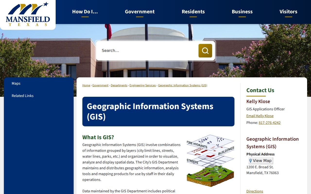
Use a map result to check location and jurisdiction, then follow the relevant county appraisal or clerk route for the record itself.
Mansfield Postal Fields in Records
A ZIP entry can appear in several public-record systems, but the field has a different meaning in each one. Tarrant GIS parcel fields include OWNER_ZIP or ZIP_, SITUS_ADDR, account or TAXPIN, owner information, legal fields, subdivision, and geometry. A technical GIS query can filter a ZIP attribute, yet a ZIP-wide extract can include parcels outside city limits or miss postal nuances. TAD results expose a mailing ZIP and situs city or address, but the reviewed public interface did not confirm a ZIP-wide filter.
Johnson CAD Advanced Search documents owner, street, property, subdivision, neighborhood, tax-year, and geographic filters, but an exact ZIP field was not confirmed in the official interface. Use a ZIP only as an added filter where the current portal visibly accepts it. Do not expect either CAD to produce a complete ZIP-wide list from the information reviewed.
Voter-file layouts include permanent city and ZIP plus mailing city, state, and ZIP fields. A personal My Voter Portal lookup asks for name, county, date of birth, and ZIP. Its response is for registration information and is subject to protected-voter omissions, not a ZIP directory of residents.
Mansfield ZIP Code Directory Workflow
Finding a public record within a Mansfield ZIP works best as an address workflow. USPS confirms the delivery form, county geography routes the address to the proper custodian, and then a particular public record answers a limited question. This avoids treating postal data as proof of who occupies an address. Once a ZIP has narrowed the area, a street or property tool can provide the more precise next step.
- Enter the exact street address in USPS By Address and keep the returned postal city and ZIP with the search note.
- Confirm whether the parcel is in Tarrant, Johnson, or Ellis County through the appropriate appraisal or GIS route.
- Use the confirmed address, account, or owner field in the live portal rather than assuming the portal offers a complete ZIP filter.
- Check whether situs, mailing address, and legal description describe the same property before connecting a record to the ZIP.
- For a precise street-level path, use the Mansfield by-street directory after the ZIP and county have been confirmed.
City Building Safety pages list permit and code-report categories that are address-keyed, but the reviewed research did not locate the live search fields, historical dates, or owner-name exposure. A city water or sewer layer can locate a service area, not a private customer.
Mansfield ZIP County Routing
Postal and county boundaries overlap imperfectly in Mansfield. Tarrant County has the primary public-records route for many city addresses, but Johnson County parcels and the Ellis County edge require their own appraisal, clerk, and court paths. US 287 and SH 360 are main corridors, and nearby Arlington, Grand Prairie, Cedar Hill, Midlothian, Kennedale, and Rendon can appear in postal or directory records. A city or ZIP label alone does not decide the owner, court, or recorder custodian.
A formal public-information request may be appropriate only after identifying the correct custodian and a defined existing record. Texas Government Code chapter 552, the Texas Public Information Act, does not require an office to create a ZIP search, nor does it make confidential records public. Ask for the existing record type, address, date range, or instrument that the office actually holds.
Mansfield ZIP Code Boundaries and City Limits
Keep the mismatch visually and conceptually separate: a postal code tells USPS how to deliver mail, while an incorporated city boundary tells a city where its jurisdiction ends. 76063 is confirmed for Mansfield residents, but delivery boundaries can cross that line. A record may also use a Mansfield postal-city name while belonging to a different county or municipality. For official records, the parcel location, legal description, county, and custodian are more decisive than the ZIP alone.
| Postal result | Record-search meaning |
|---|---|
| Mansfield postal city and 76063 | Confirm the street address, then determine the county before opening appraisal, clerk, or court records. |
| Nearby ZIP or city label | Do not rule out a Mansfield-area connection, but do not call it a Mansfield record until the address and jurisdiction match. |
| Older document with a different community name | Search the legal description, street variants, and county record because postal names change separately from property identity. |
Note: A ZIP mismatch is a reason to verify the address, not evidence that a record or person is wrong.
Mansfield Postal Address Terms
These terms keep postal and property research from being mixed together. USPS resolves the delivery address. County appraisal and GIS records separate the parcel's physical location from the owner's tax-notice address. Recorded documents rely on a legal description, such as subdivision, block, lot, or metes-and-bounds, to keep the property identity stable when a street label changes.
- ZIP versus ZIP+4
- A five-digit ZIP identifies a delivery area; ZIP+4 adds a more specific delivery segment. Neither establishes city limits.
- PO-box ZIP
- A ZIP used for a post-office box delivery arrangement. It is not proof of a physical property location.
- Unique ZIP
- A ZIP assigned to one organization or delivery purpose. None was confirmed for Mansfield in the reviewed research.
- Carrier route
- A postal delivery grouping used by USPS. It is not a municipal district or public-resident roster.
- Situs address
- The physical location of a parcel. It differs from the owner's mailing address and from the legal description in a deed.
Mansfield Postal History Names
Historic records may use place terms that do not match a modern postal form. Water Street later became Main Street, though the reviewed source did not establish the exact renaming year. Britton was previously Helland and Hellandville before its November 13, 1896 renaming, then was annexed by Mansfield. A deed or newspaper may therefore point to a community name, lot and block, railroad reference, or old street name rather than today's situs address.
Search all documented variants with the legal description and county context. Regional telephone directories and museum files can help bridge an old name to an address, but they are historical leads. USPS provides the current delivery answer; the county clerk's legal description preserves the property identity across the name changes.