
Mansfield Neighbors Around One Parcel
A Mansfield neighbors search uses several sources because each one answers a narrower question. GIS provides parcel geometry. The appraisal card provides the owner of record and tax fields. Official Public Records can show an instrument or plat. The city registration process can describe a group's boundaries and sharing choices. None of these sources is a complete occupant list, and a person near an address is not established by a map alone.
| Source | What it shows about a block | Access |
|---|---|---|
| Tarrant GIS and parcel layer | Parcel boundaries, account or TAXPIN, situs, owner and mailing attributes, legal fields, subdivision, and geometry | Free viewer or query; select adjacent polygons. |
| TAD cards | Current and previous owner, mailing and situs fields, values, exemption, and deed instrument | Free search; appraisal data rather than an occupant roll. |
| County OPR | Transfers, plats, liens, powers of attorney, and legal descriptions for a parcel | Portal, kiosk, counter, or mail copy route. |
| Mansfield GIS | Parcels, zoning, utilities, parks, streets, facilities, and city boundaries | Interactive maps; layers are generalized and periodically updated. |
| Voter lookup or file request | Individual registration or permitted precinct and district fields | Personal lookup or request route with privacy and use restrictions. |
| Building Safety | Permit, certificate-of-occupancy report, or code-report categories by address | City page lists routes; live fields and coverage were not located. |
| Neighborhood registration | Group boundaries, meeting details, and selected contact-sharing preferences | City form; it is not a membership roster. |
Start with the smallest possible block definition: touching parcel geometry, a recorded subdivision block and lot, or a short street segment. Those definitions may not agree, especially where a tract has common areas or a street reaches a jurisdiction line.
Map Mansfield Neighbors With Tarrant GIS
The Tarrant County Public Map Viewer has Address, Account, and Owner fields, map layers, and an address prompt. Locate the reference parcel first, then zoom until the boundary lines are visible. The map can connect a selected parcel to an account or TAXPIN, which should be checked against a Tarrant Appraisal District card. Mansfield portions in Johnson or Ellis counties need their respective district and county sources instead.
The official ArcGIS layer also exposes owner mailing fields, SITUS_ADDR, legal fields, subdivision, instrument number, street components, and Shape geometry. It supports distance and geometry queries, but the public map is the clearer route for visually inspecting the parcels immediately around an address.
Use the county parcel viewer to see the address, account, owner, and layer controls.
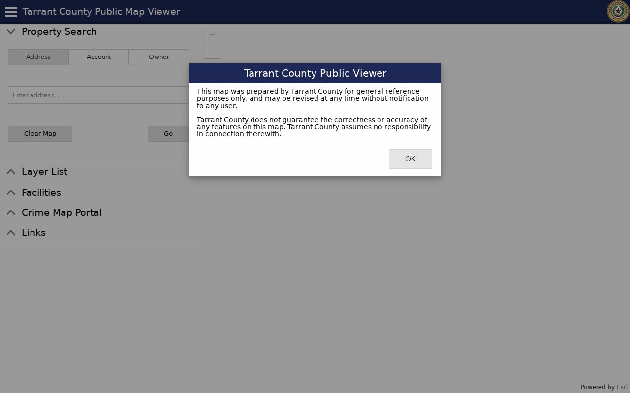
The viewer provides the map context for a Mansfield neighbors search before each adjacent parcel is checked as its own record.
Mansfield Neighbors Adjacent Parcel Flow
Use a short, repeatable flow when reviewing a block. This keeps the map result, appraisal data, and deed record from being blended into one unsupported claim. Parcels can include easements, roads, common areas, drainage pieces, or irregular slivers, so a touching polygon is simply a geographic fact.
- Search a known address or account in county GIS and identify the reference polygon.
- Click or identify only polygons that touch it, then record each account, TAXPIN, situs, and legal description separately.
- Open the matching TAD card for each Tarrant parcel and preserve the owner, mailing, situs, prior-owner, deed date, and instrument fields.
- Use the county OPR index for a transfer, plat, easement, or other instrument when the geometry needs explanation.
- Use a city boundary or neighborhood record only for civic context, not as evidence that a particular person is a member of a group.
For the record trail along an entire named street rather than the immediate block, use the Mansfield street directory. That separate route focuses on the address chain and older street variants.
Mansfield Neighborhood Registration Details
Mansfield Neighborhood Services holds quarterly HOA and neighborhood-association meetings and accepts a Neighborhood Registration Form. The form requests the group name and type, representative and position, phone and email, optional website, management company, unit count, north, south, east, and west boundaries, meeting schedule, and gated status. It also asks the group to choose whether representative information may be shared with other groups or released to the public if requested.
The form is a registration and contact channel, not a public directory of members or a verified list of every Mansfield association. The research did not locate an official complete roster of named associations, umbrella directory, or public membership list. A group that does not appear in a form result should not be assumed not to exist.
Neighborhood Services
Use: Register a group boundary, meeting details, and chosen representative sharing preferences.
Public limit: The form does not disclose a neighborhood membership list or establish who lives in a parcel.
Historic Preservation Advisory Board
Use: Find civic records and public discussions relevant to an older block or property.
Meeting: Fourth Thursday at 6 p.m. at the Mansfield Historical Museum.
Note: Record the boundary definition used by an association before comparing it with parcel geometry or a subdivision plat.
Review the city registration form for its boundary and contact-sharing choices.
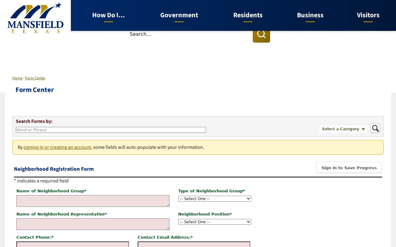
The fields make the form useful for community context while preserving the distinction between a group contact and the people who may live nearby.
Mansfield Neighbor Tools Compared
Official sources and commercial neighbor-search categories serve different roles. The official parcel and clerk routes identify their custodian, fields, and access limits. Commercial categories may combine public filings, marketing data, and other sources, but their matches can be stale, merged, incomplete, or difficult to trace to a primary record. Verify any lead with the appraisal district, county clerk, city GIS, or the relevant public custodian.
| Route | Best use | Key limit |
|---|---|---|
| Official parcel and GIS records | Locate a parcel, account, legal description, and recorded owner field | Does not list every person connected with an address. |
| County deed and plat records | Check a dated transfer or boundary document | Requires legal-description and date confirmation. |
| Commercial neighbor-search category | Possible starting lead only | Data provenance, freshness, and matching quality can vary. |
The comparison is most useful when it sends a result back to a primary source. A map, mailing field, or old listing should remain a recorded fact rather than an assumption about current personal circumstances.
Mansfield Neighbors and Voter Limits
Texas My Voter Portal uses name, county, date of birth, and ZIP for a personal lookup. A result can show registration status, precinct and district information, polling details, and related election information. It is not a way to create a block list. Texas public voter data rules distinguish public name, date of birth, and VUID fields from residence information that can be withheld for protected categories. Ballot selections are not public.
Tarrant's voter-file request can specify precinct, district, election, and desired fields. It has delivery options and use warnings, and protected voters may be omitted. The January 2026 precinct-change lookup returns current and updated districts from an address, while the Ballot Verifier applies to elections beginning March 2024. Those are election tools, not proof that every person near a Mansfield parcel is registered or present.
Mansfield Historic Block Records
For an older Mansfield block, use a plat, property instrument, dated white-pages entry, newspaper notice, cemetery reference, or museum material alongside the map. The Mansfield Historical Museum has PastPerfect records, photographs, 1800s obituaries, newspaper material, family notebooks, and microfilm. The Historical Society collects documents, family histories, directories, newspapers, letters, diaries, and related local material, though a complete public finding aid was not located.
The Historic Preservation Advisory Board is a timely record route because minutes before January 2022 remain in a legacy Legistar location while the city develops a long-term archive solution. Current agendas and a records request may be needed for a historic-block question. Board material can supply civic context, but it must not be converted into an unsupported list of neighborhood members.
Review the Historic Preservation Advisory Board page for meetings and archive information.
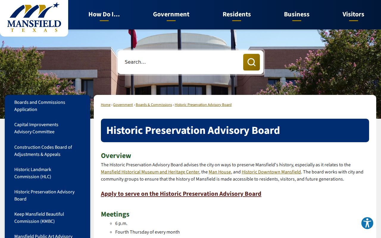
The public board route adds documented history to a Mansfield block search without changing the privacy limits that apply to people near a property.
Privacy for Mansfield Neighbors
A neighbor lookup should stay within the facts the custodian actually publishes. An appraisal card may show an owner of record and a mailing field, not every person at the situs. Protected voter data can be withheld. Texas's Address Confidentiality Program can provide an eligible participant a substitute mailing address, and it does not erase all historic records. Utility-customer information and DMV address information are not public replacements for parcel evidence.
If a parcel record is wrong, start with the applicable appraisal district and keep the account or TAXPIN. For an instrument error, identify the document number and ask the County Clerk about the proper correction or redaction process. Under the Texas Public Information Act, request defined existing public records from the office that holds them. Never use public information to monitor, intimidate, or repeatedly contact a person.
Mansfield neighbors records can also contain ordinary errors: a mailing field may lag, a parcel line can be generalized on a city map, and an old name can be confused with a current owner. Save the source and date for each result. If an official record needs correction, contact that original custodian rather than assuming a copied record will update on its own. The best practice is to keep parcel facts, historical leads, and personal assumptions in separate notes.
Lawful use. Mansfield neighbor records support personal, lawful research and civic context. Do not use a map, address, or record trail to stalk, harass, or harm anyone.