
Mansfield Street Directory Starting Steps
Begin a Mansfield street directory search with the house number, directional, street name, suffix, unit, city, ZIP, and county. Mansfield spans Tarrant, Johnson, and Ellis counties, so the city label alone does not select the right appraisal district or clerk. Tarrant Appraisal District is the usual starting point for a Tarrant parcel. Johnson CAD or Ellis County sources may be needed for other parts of Mansfield. Preserve the parcel account, TAXPIN or georeference, and legal description as you go. Those details travel better across maps and old instruments than a street number alone.
Address records can show a recorded owner and a tax-notice mailing address. They cannot establish every current household member. Treat each record as a dated lead, then compare the address, county, legal description, and date before connecting names.
- Enter the normalized address in the applicable appraisal search. Save the situs address, account or TAXPIN, owner of record, deed date, instrument number, and legal description.
- Open the same parcel in the county map viewer. Check the parcel outline, street placement, and adjoining polygons before treating a similarly named record as a match.
- Search the Tarrant County Clerk's Official Public Records index for the owner as grantee near the deed date. Confirm the legal description before relying on a deed result.
- For an individual registration question, use Texas My Voter Portal with name, county, date of birth, and ZIP. A match is registration evidence, not a household roll.
- For an older address clue, compare a dated regional white-pages entry or museum material with the deed and parcel timeline.
Note: Keep a separate note for every county route, because an address in Mansfield can lead to a different CAD and clerk system.
Mansfield Street Directory Parcel Fields
The Tarrant Appraisal District supports owner-name, street or situs address, account, and georeference searching. Its parcel cards distinguish the physical situs from the primary owner mailing address. The card can also show subdivision, block and lot, deed date, instrument, prior owner, values, exemption flags, and map references. A mailing address can be in another place or belong to an agent, so it should not be treated as the physical location of a person.
The owner search is useful for a by-street record trail, but published result caps and matching rules were not identified in the official material. Search the street name without a house number only when the live form accepts it, then narrow a result with the city, parcel identity, and legal description.
| Field | Type | Required | Format or use |
|---|---|---|---|
| Owner name | Text | Optional | TAD owner search; matching behavior was not stated. |
| Street or situs address | Text | Optional | Use the number and street; partial-format rules were not located. |
| Account | Text or number | Optional | Parcel account identifier. |
| Georeference or TAXPIN | Text | Optional | Tarrant parcel identifier; formatting varies. |
| City | Text or filter | Optional | Use Mansfield, then verify the county and CAD. |
| ZIP | Filter or text | Not located | Use only if the live TAD interface displays it. |
| Tax year | Dropdown | Optional | Johnson CAD has a Tax Year selector; TAD cards display historical values. |
The sample TAD parcel card shows why each field should be recorded before moving to another source.
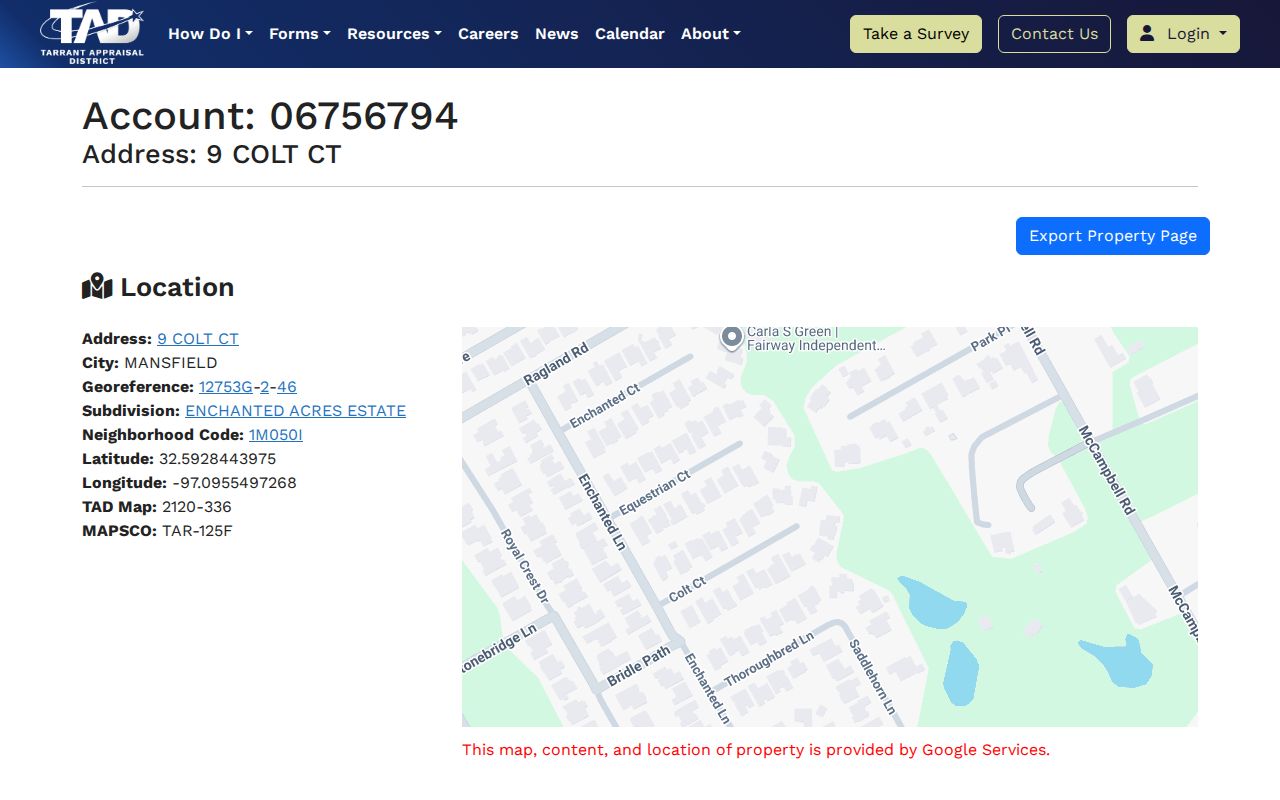
Its owner, mailing, situs, deed, and legal fields create a precise handoff from a Mansfield street directory search to a map or instrument index.
Mansfield Street Directory Map Checks
The Tarrant County Public Map Viewer has Address, Account, and Owner search fields, an address prompt, map layers, and parcel browsing. Search one reference address, zoom until parcel boundaries appear, and select nearby polygons if a street segment needs context. The viewer links a parcel to account or TAXPIN information that can be checked against the TAD card.
Mansfield's own GIS includes parcel, street, zoning, water, sewer, parks, and emergency-facility layers. Those layers can help explain a boundary or a street placement. They do not identify a private utility customer or establish that people on touching parcels share a household.
Note: Parcel proximity is geometry, not proof of a personal connection between people associated with two addresses.
Mansfield Street Records in Tarrant GIS
The official Tarrant parcel layer exposes ACCOUNT, TAXPIN, OWNER_NAME, owner mailing fields, SITUS_ADDR, legal fields, subdivision, instrument number, street components, values, and Shape geometry. Query, pagination, distance, SQL, and GeoJSON options are available in the service. For a routine Mansfield street record, the public map is simpler: identify the polygon, note the account, then open the appraisal card.
The parcel layer is especially useful when a deed uses a subdivision, block, lot, or other legal wording rather than the modern street line. Search the map and the instrument with the same legal description before assuming that a street-name match is the right parcel.
Inspect the official field schema and query interface for the available parcel attributes.
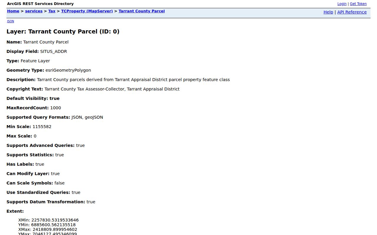
These field names show the bridge between a mapped Mansfield address, its parcel identifiers, and the legal data used in recorded documents.
Mansfield Street Directory Record Coverage
Each address-keyed source covers a different part of a Mansfield street directory search. The appraisal card is strongest for the parcel and recorded owner. The clerk index is the source for instruments. GIS is the location and boundary layer. City records can add a dated permit or code trail, though the public research did not identify searchable field details or coverage dates for those categories.
| Record set | Keeper | What it shows | Access |
|---|---|---|---|
| TAD parcel card | Applicable appraisal district | Owner, mailing and situs fields, legal description, values, prior owner, and deed data | Free web search; exact historical cutoff not located. |
| County GIS | Tarrant, Johnson, or city GIS | Parcel geometry, TAXPIN or account, layers, districts, and addresses | Free map or query route; inspect adjacent parcels individually. |
| OPR deed index | Tarrant, Johnson, or Ellis County Clerk | Grantor, grantee, instrument, date, type, and legal description | Web, kiosk, counter, or mail; Tarrant archive index documents 1876-1920. |
| Plat | County clerk, appraisal, or GIS | Subdivision, block, lot, and street layout | OPR image or counter; copy fees can apply. |
| Building Safety records | Mansfield Building Safety | Permit, certificate-of-occupancy report, or code-report categories | City records menu; live fields and coverage not located. |
For a full address chain, the parcel account ties an appraisal card to a map, while a legal description links the map to a recorded instrument. A city record may date an event at the address, but it does not replace the title record.
Deeds Along a Mansfield Street
Use the Tarrant Official Public Records search after locating the parcel owner and deed date. Its controls include Department, Search Term, Date Range, Recorded Date, and index-only or index-and-full-text/OCR searching. The search term accepts a grantor or grantee, subdivision, document type, or document number. Confirm the legal description, subdivision, block, lot, and instrument number before adding a document to a Mansfield street directory trail.
A matching deed can name a grantor and grantee, document type, recorded date, and instrument number. Warranty deeds, deeds of trust, trustee deeds, plats, easements, liens, releases, powers of attorney, and judgments can serve different roles in a parcel history. When an older street address fails, search the legal description or plat first. The Tarrant online start date was not stated in the official portal, so do not treat a missing web result as the beginning of the chain.
See the County Clerk's real-estate records route for recording information, fraud alerts, and search links.
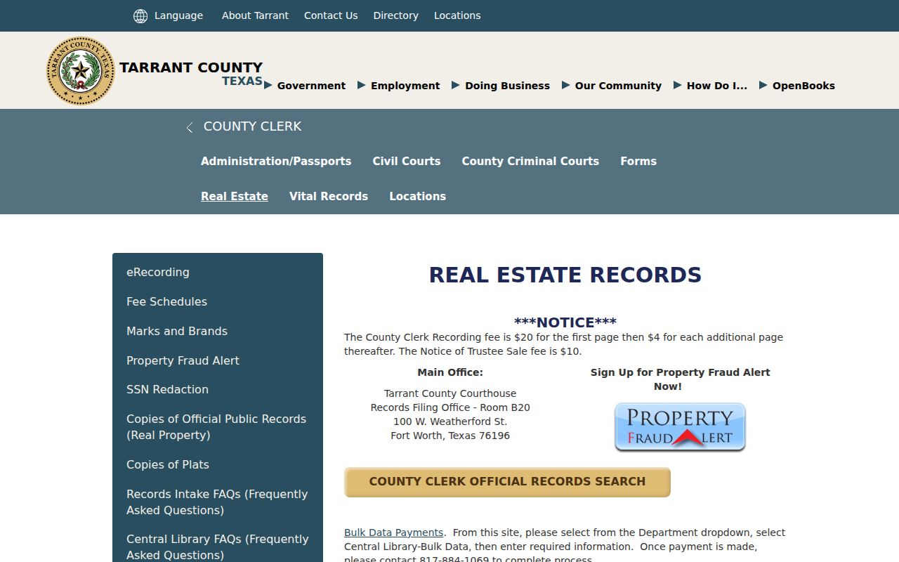
The county page points from a Mansfield street record toward the official index, copy procedures, and the counter when an online image is not enough.
Mansfield Street Permit Routes
Mansfield Online Public Records lists Building Safety permit applications, monthly certificate-of-occupancy reports, permit reports, code-violation reports, and other municipal record routes. Use a specific address and date range when asking the city for an existing record. The researched city material did not establish a public search form's field list, historical start year, owner-name display, or result limits.
When a posted category does not supply the record needed, a focused request under the Texas Public Information Act can be made to the custodian. Request an existing category, address, and date range. The Act does not require an office to create a new search or disclose protected information.
View the city's public-record categories before asking which office holds a particular address record.
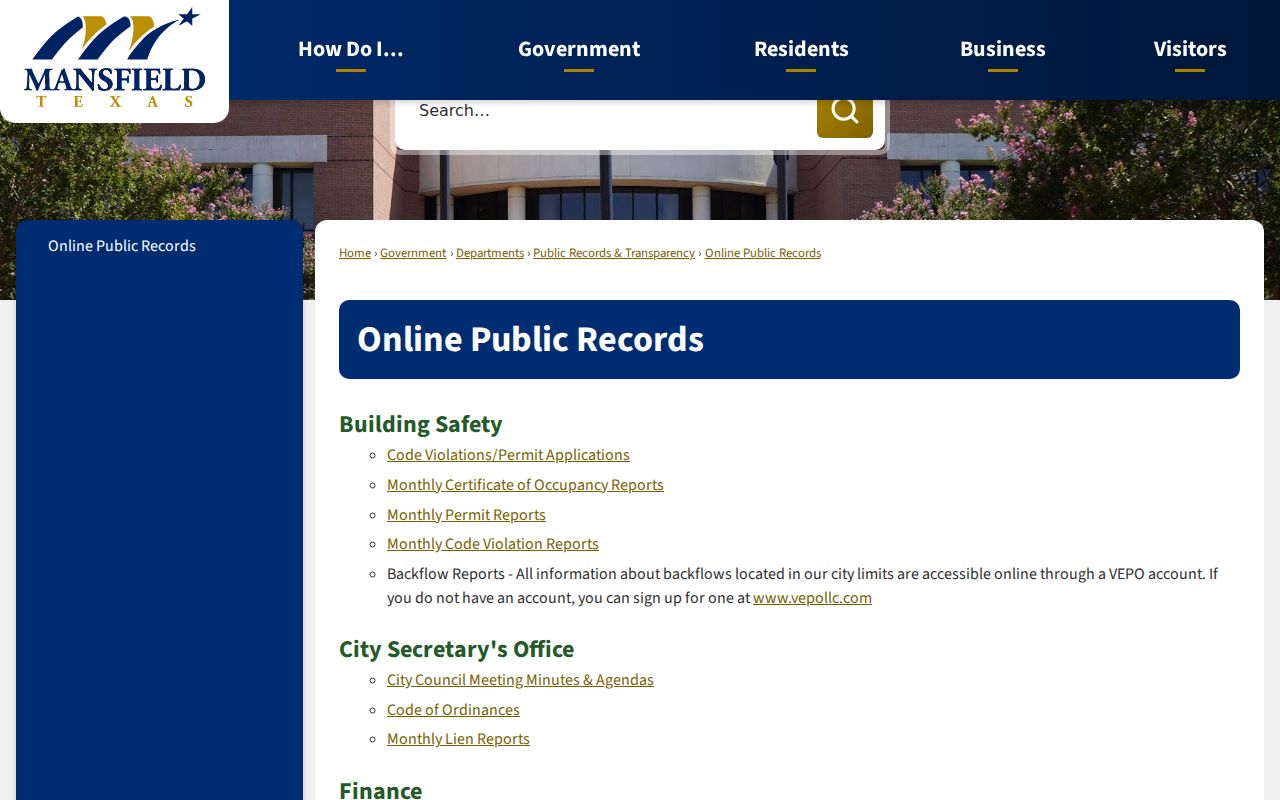
The categories are useful for routing an address request, but the parcel and deed sources remain the better tools for a recorded ownership trail.
Mansfield Street Directory Voter Context
For a specific person, Texas My Voter Portal asks for name, county, date of birth, and ZIP. A personal result can show registration status, precinct and district information, polling details, and related election information. It is a confirmation tool, not a Mansfield street directory or a list of every person connected with an address. A non-match can reflect protected status, a name-format difference, suspense status, or an incorrect county route.
Tarrant's voter-file request offers precinct, district, election, and selected-field options, with delivery and use rules. Texas law makes voter name, date of birth, and VUID public subject to exceptions, while address information can be withheld for protected categories. Election participation can show that a person voted, not how the person voted. Keep the portal result separate from the parcel record and do not use it to construct a household claim.
Use Texas My Voter Portal for its personal lookup route and Tarrant Elections for county registration information.
Mansfield Street Names Across Counties
A Mansfield street directory needs room for old vocabulary. Water Street later became Main Street, though the official history did not identify the year. Britton was first Helland, then Hellandville, before its documented 1896 name. A historic deed, newspaper, or map may use one of those place terms instead of a current mailing line. Try the street and community variants, then rely on the plat, parcel geometry, and legal description to connect records.
This is also a county issue. A street can approach a city or county line while Mansfield itself extends into Tarrant, Johnson, and Ellis counties. Confirm the parcel's jurisdiction with the appraisal account, legal description, or GIS layer before ordering a clerk copy. The local city name is helpful, but it is not the custodian decision.
- Parcel
- A defined piece of land represented by an account, map geometry, and legal description.
- Situs address
- The physical location of the parcel, separate from an owner's tax-notice mailing field.
- Plat
- A recorded map setting out a subdivision, block, lot, streets, or legal boundaries.
- Criss-cross directory
- A historic directory arranged by address or street when a published volume includes that arrangement.
Limits of a Mansfield Street Directory
A property roll identifies an owner of record, not every person connected with a location. A voter lookup can confirm an individual registration only when the required identity fields are supplied, and protected voter information can be withheld. Voter participation data does not reveal ballot selections. Public records also do not turn DMV data or utility-customer information into a street-by-street source.
For earlier households, the documented regional Greater Dallas White Pages and museum files can be leads, not a complete Mansfield street index. The regional white pages have selected 1981, 1983, 1984/85, and 1995 volumes. A local Mansfield-only reverse directory run was not located in official sources. The historical collection route is described on the Mansfield city directories page.
Lawful use. Mansfield street records are for lawful personal research and civic curiosity. Do not use an address trail to stalk, harass, intimidate, or harm anyone.